


Chandigarh, November 21: Haryana Government is geared up to finalize the drone flying work being carried out under the State Government's ambitious Haryana Large Scale Mapping Project and SVAMITVA scheme by January 2021. Likewise the work of feature extraction will be finalized by March, 2021.
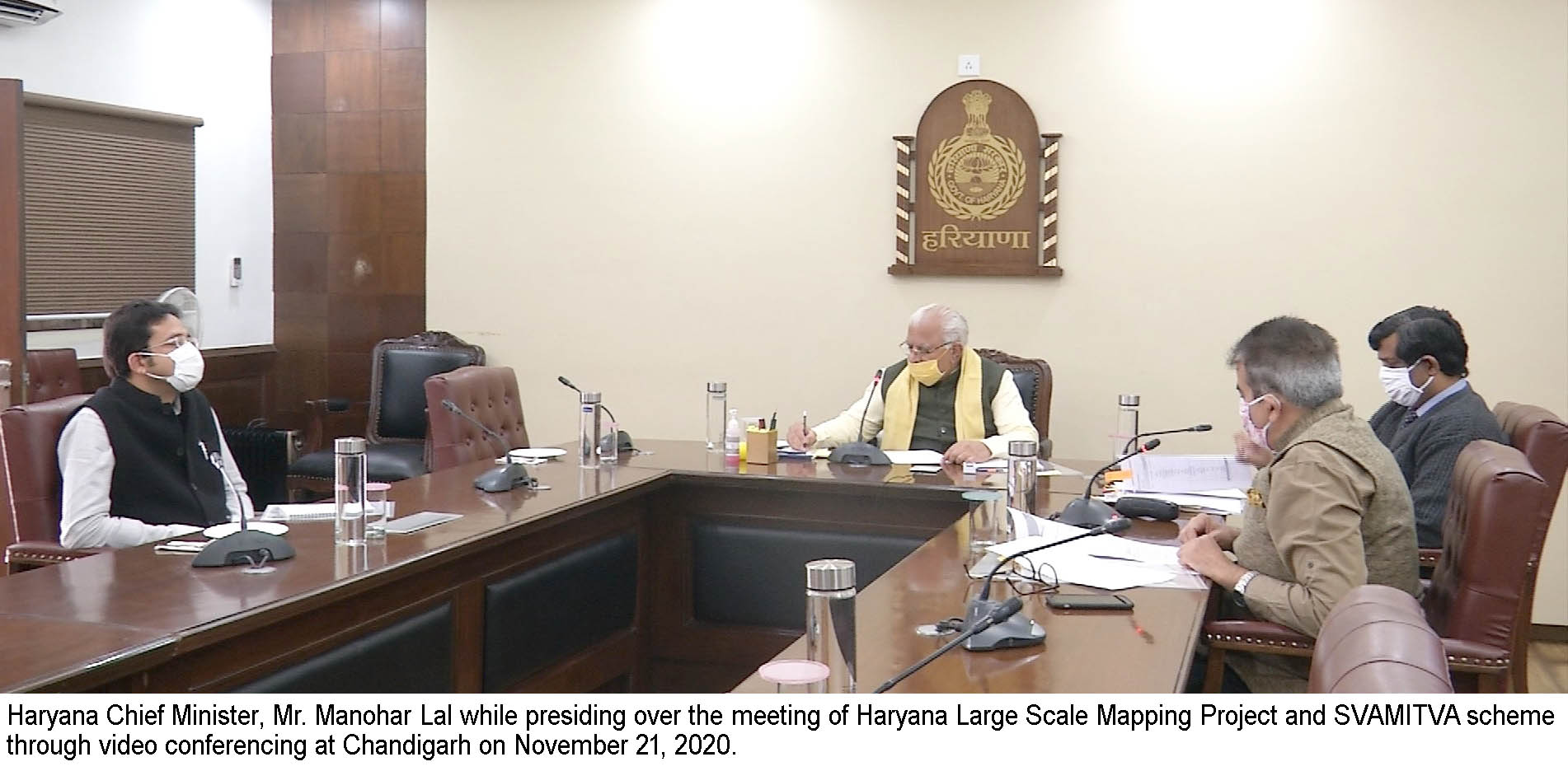
This information was shared during a meeting held under the chairmanship of Chief Minister, Mr. Manohar Lal with Surveyor General of India, Lt. General Girish Kumar and Deputy Commissioners of the State regarding review of the Haryana Large Scale Mapping Project and SVAMITVA scheme, through video conferencing, held here today.
While presiding over the meeting, the Chief Minister directed that total land area of every revenue estate including categorizing data of private, public, agriculture and residence etc can be collected. Besides this, the Deputy Commissioners have also been directed to appoint Additional Deputy Commissioners as nodal officers so as to speed up the work regarding this project.
The Chief Minister further directed that the number of drones and surveying teams should be doubled in those districts where the work is not completed yet. He directed that the work of draft map should be completed on priority basis. Besides this, he also directed that the pending Jamabandis of Gurugram, Dadri, Faridabad, Karnal, Jhajjar, Bhiwani and Rohtak should be made online on a priority basis.
Surveyor General of India, Lt. General Girish Kumar, apprised the Chief Minister that along with line marking to ensure smooth and speedy execution of the project weekly targets and weekly reviews of drone flying, inspections and feature extraction has been set and the officers concerned have also been directed to ensure the close monitoring of the same.
The Chief Minister was apprised that in some districts, SVAMITVA scheme will soon be completed 100 per cent in some districts including Mahendragarh, Rewari, Jhajjar, Charkhi Dadri, Rohtak.
The Chief Minister was apprised that new technology of 360 cameras has been hired for taking images of the Karnal. Once the mapping is completed, then these images are integrated with maps and this work will be completed by December 10, 2020. It was informed that presently drone teams have been deputed in 18 districts and in the rest districts the teams will be deputed soon.
Additional Chief Secretary and Financial Commissioner, Revenue and Disaster Management Department, Mr. Sanjeev Kaushal, Principal Secretary to Chief Minister, Mr. V. Umashankar and Deputy Principal Secretary to Chief Minister, Mr. Amit Kumar Agrawal were also present on this occasion.